Resultados

Registros 501-520 de 941 para a busca

Tipo de documento Material cartográfico impreso Y Institución Biblioteca Nacional de Argentina 

Registros por página:

Ordenar por
Biblioteca Nacional de Argentina

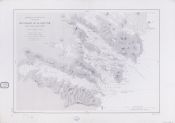
501. Montserrat

- 1869
Biblioteca Nacional de Argentina

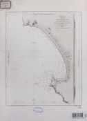
502. Mouillage de Huacho : côtes de Pérou

Fisquet, M. - 1849
Biblioteca Nacional de Argentina

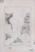
503. Mouillage de l’ile Sn. Sebastiao : côte du Brésil

Gressier, M. - 1870
Biblioteca Nacional de Argentina

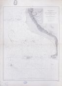
504. Mouillages de la Baie Tom

Francia. Service hydrographique de la marine - 1893
Biblioteca Nacional de Argentina

505. Mouillages de la Colonia

Dillon, C. H - 1870
Biblioteca Nacional de Argentina

506. Mouillages des iles Otter et de la Romanche

Lajarte, M. de - 1884
Biblioteca Nacional de Argentina

507. The mouths of the rivers Nuñez and Componi

Belcher - 1899
Biblioteca Nacional de Argentina

508. Municipio de Buenos Aires y parte del Partido de Avellaneda

Ludwig, Pablo, - 1914
Biblioteca Nacional de Argentina

509. Nantucket Shoals to Block Island

- 1880
Biblioteca Nacional de Argentina

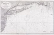
510. Nantucket I. to Great Egg Hr. : including Long Island Sound and shewing the approaches to New York

- 1896
Biblioteca Nacional de Argentina

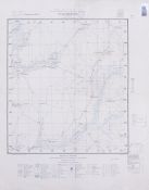
511. Nazareno Corrientes

Instituto Geográfico Militar (Argentina) - 1940
Biblioteca Nacional de Argentina

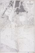
512. New York bay and harbour

- 1902
Biblioteca Nacional de Argentina

513. Newfoundland

- 1910
Biblioteca Nacional de Argentina

514. Newfoundland : southern portion

- 1870
Biblioteca Nacional de Argentina

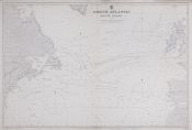
515. North Atlantic : route chart

- 1901
Biblioteca Nacional de Argentina

516. North Atlantic Ocean : eastern portion

- 1870
Biblioteca Nacional de Argentina

517. North Atlantic Ocean : western portion

- 1870
Biblioteca Nacional de Argentina

518. North Atlantic Ocean

- 1883
Biblioteca Nacional de Argentina

519. North Polar chart : including the Arctics Seas from the Gulf of Yenisei on the west to Lancaster & Smith Sounds on the east, with Bering Strait and the Pacific Ocean to the 50th Parallel

- 1881
Biblioteca Nacional de Argentina

520. North Polar chart : including the Atlantic Ocean to the 50th Parallel and the Arctic Seas from Barrow and Franklin Straits on the west, to Novaya Zemlya and Franz Josef Land on the east

- 1881